Your Essential Travel Guide To German Battlefields
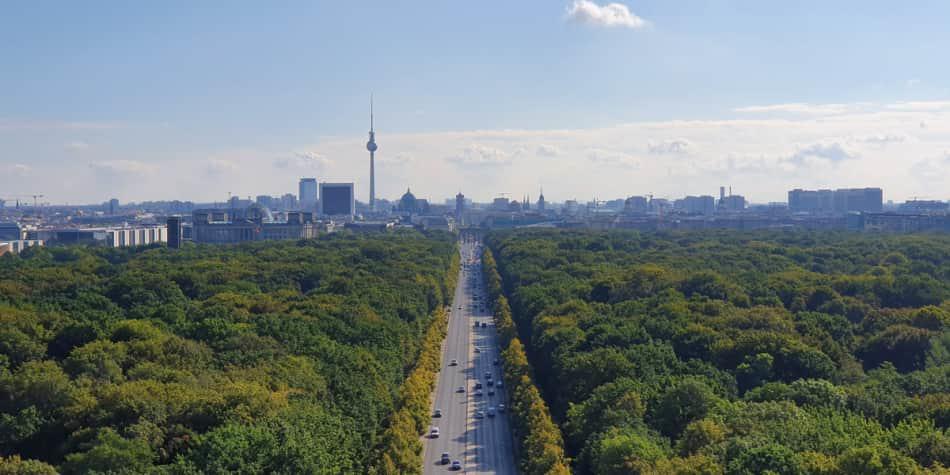
Discover Which Battlefields In Germany To Visit
Germany is a country of remarkable diversity, from the dune fringed coasts of the north to the forests and rivers of the central belt, the imperial cities of the east, and the Bavarian Alps in the south. But Germany has seen its fair share of war, and although the battles on German soil might not be as well-known as others, they were still as devastating and monuments to the fallen can be found in most towns.
The easiest way to get around Germany is by car, especially when visiting some of the more remote locations. You can hop on our car ferry from Newcastle to IJmuiden or from Dover to Dunkirk and Calais and drive through Germany’s wonderful countryside. The Autobahn makes life a lot easier and it stretches over 8,000 miles, covering most of the country. Even rural roads in Germany are exceptionally well maintained and well signposted.

Hürtgen Forest
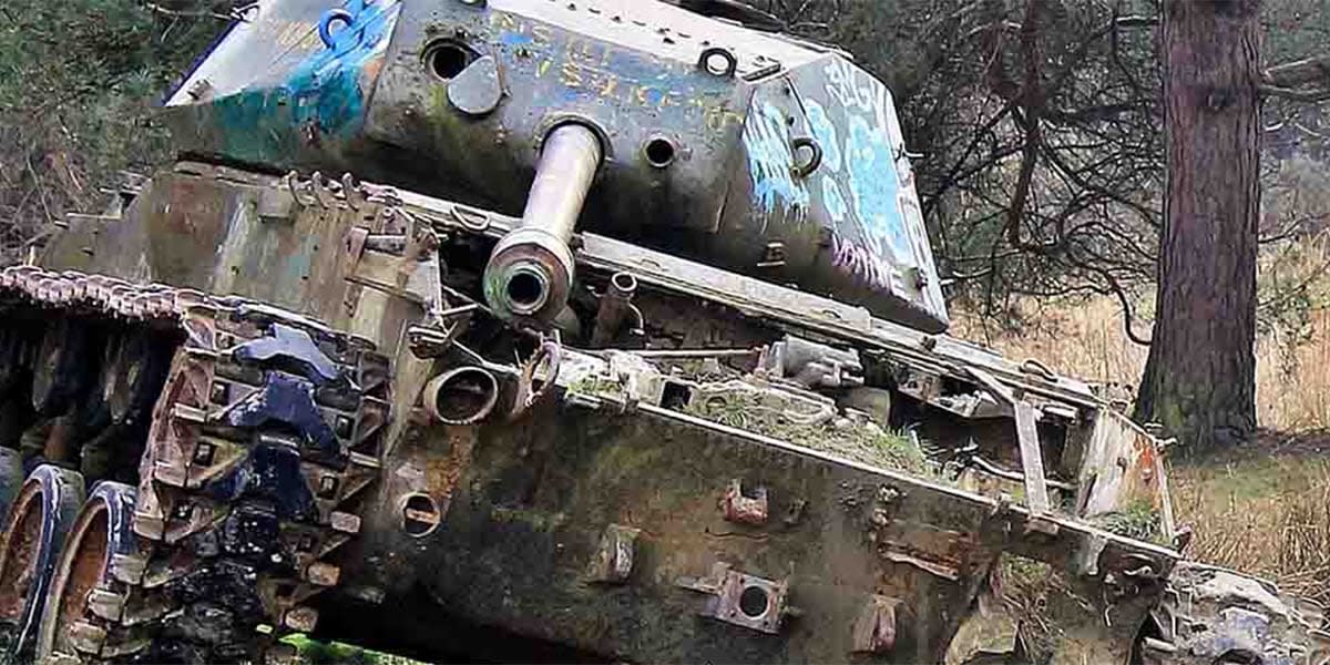
The Battle of Hürtgen Forest was a series of skirmishes that took place from September 1944 to February 1945 during the Second World War. The Battle took place in the Hürtgen Forest in western Germany between the Ruhr River and the city of Aachen, about 50 miles east of the border with Belgium. It was the longest battle on German ground, and is the longest single battle the U.S. Army has ever fought.
The signs of battle are still evident in the region. In Vossenack you’ll find the Hürtgenwald 1944 museum and there are many memorials nearby. You can follow the well-signposted “Kall Trail” down into the forest where many remains of the battle are still visible. However, you are advised not to leave the signposted routes, as there are still mines in the forest and the maps of the minefields have long since disappeared. There are also two large German war cemeteries in Vossenack and Hürtgen which are worth a visit.
Image credit: Xamos

Siegfried Line
Situated between Aachen and Monschau, you can see the dragon’s teeth fortifications of the Siegfried Line. Also known as the Westwall, the Siegfried Line was a defensive position that stretched more than 390 miles and featured more than 18,000 bunkers, tunnels and tank traps.
There is an eight-mile stretch of the Westwall Wanderweg (Siegfried Line hiking route) which leads from Simmerath in the Hürtgen Forest to Monschau.
Amazingly, you can still find the concrete dragon’s teeth fortifications that have remained intact.
Many are situated in private gardens, along the roadside and in fields, as it was too expensive to remove these huge concrete pyramids.

Remagen
The Ludendorff Bridge was, in March 1945, one of two remaining bridges across the River Rhine in Germany when it was captured during the Battle of Remagen by U.S. Army forces.
It is situated midway between Coblenz and Cologne and it connected Remagen on the west bank with the village of Erpel on the eastern side.
Visitors approaching the bridge today will see two towers, all that is left of the original bridge on the west bank – the east bank also has two similar dark towers.
What remains of the bridge is home to the Peace Museum, which houses photographs and artefacts, while the letters and documents exhibited make for fascinating reading.

Seelow Heights
The Battle of the Seelow Heights was part of the Soviet assault on Berlin towards and lasted three days in April 1945. Estimates of Russian casualties in this battle alone range from 5,000 to 33,000, with 12,000 Germans killed. At the culmination of this pivotal battle, Berlin was fully encircled and the battle for Berlin entered its final stage. Within two weeks, Adolf Hitler was dead and the war in Europe was over.
The battle took place in the small market town of Seelow, located today on the B1 road, close to where it crosses the Oder River. There is a monument in the town that shows a Red Army soldier with his hand on the turret of a defeated German tank and a museum was built in 1972 to complement the war memorial on the hill, built in the shape of a typical Russian bunker.


